

Learning The Evolution of Mapping For Grade 3 Students
Learning Outcomes
By the end of this lesson, students will:
-
Learn about the history & significance of mapping.
-
Names different stages in the evolution of maps
-
Identify major innovations & technologies in cartography.
-
This goes a long way in understanding how maps have altered through the ages, & how they affect exploring & navigating.
Introduction to Mapping
Mapping is the process of producing maps, which you can think of as visual representations of a part of the world. Mapsare a way to provide context to a world, navigate its twists & turns, & share information about places. The history of mapping, a shared pursuit of humanity through exploration & understanding of the Earth, goes back thousands of years.
The Early Beginnings of Mapping
There were maps as early as ancient civilizations. Early maps consisted of simple drawings representing the environment around them. Here’s a quick overview of how mapping got started:
Cave Paintings
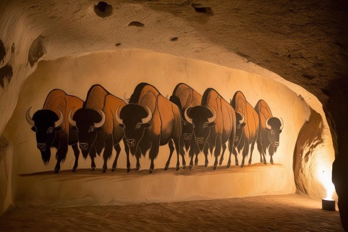
We can trace the very first types of mapping back to prehistoric times where our early ancestors used cave paintings. These illustrations also showed hunting routes, places where water was available, & stellar patterns. And though they weren’t maps in the contemporary sense, they were a means of conveying vital information about the landscape.
Clay Tablets
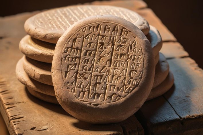
The first recorded maps were produced around 2300 BCE by the Babylonians on clay tablets. These maps were simple, but showed important features such as rivers, mountains, & cities. They were often grounded in local knowledge & personal experience.
Geometric Patterns
Maps started incorporating geometric patterns & symbols as societies progressed. It was a major advance in such maps' ability to capture spatial information.
The Development of Cartography
Cambias explained that as civilizations became more complex, so too did their mapping techniques. Some key milestones in the development of cartography:
|
Time Period |
Development |
|
600 BCE |
The Babylonian Map of the World described a flat disk surrounded by water, with the ancient city of Babylon at the center. |
|
150 CE |
Ptolemy's "Geographia" that created a systematic way of map-making, including latitude & longitude coordinates. |
|
1569 |
The projection by Mercator allowed for proper navigation, whilst preserving angles, but distorts land in the top & bottom portion of the map. |
|
19th Century |
The developments in surveying equipment contributed much more precision in new maps, with accurate representation of the topography. |
|
20th Century |
Aerial Photography & Satellite Imagery — Traditional maps were the norm until a birds-eye view changed the game. |
Key Advancements in Mapping Techniques
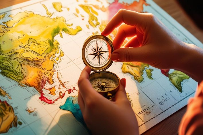
The Compass:
The next major element of navigation that made mapmakers able to use the cardinals (north, south, east, west) efficiently was the compass. This was essential for adventurers outfitted with excursions to uncharted territories.
Printing Press:
In the 15th century, the invention of the printing press allowed for maps to be produced quickly and disseminated widely. This made geographical knowledge much more widely accessible.
Aerial Photography:
But in the early 20th century, aerial photography introduced a paradigm shift to map-making. It allowed cartographers to capture images from the sky, providing a bird’s-eye perspective of terrain.
Digital Mapping:
Evolution of Digital Mapping In the 20th century, mapping progressed to a point that technologies started to converge, & mapping entered an era of terminologies radicalization, namely, the rise of Geographic Information Systems (GIS). Interactive capture of spatial data Any kind of spatial data can be captured in real time via interactive tools.
Satellite Imagery:
Modern maps are often based on satellite images, which are high-resolution pictures of Earth’s surface.
Real-Life Examples with Images
We are using maps today in multiple fields:
1. Navigation
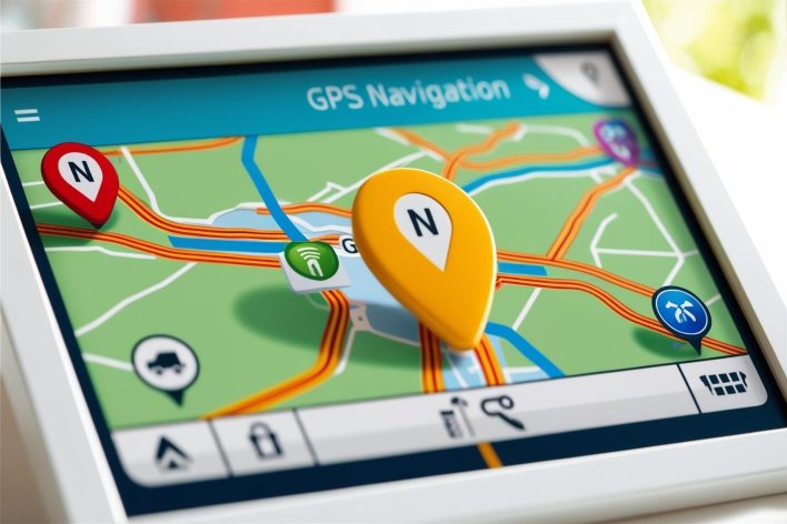
Now we have moved a level higher & because of these GPS devices these days people are addicted to them.
2. Urban Planning
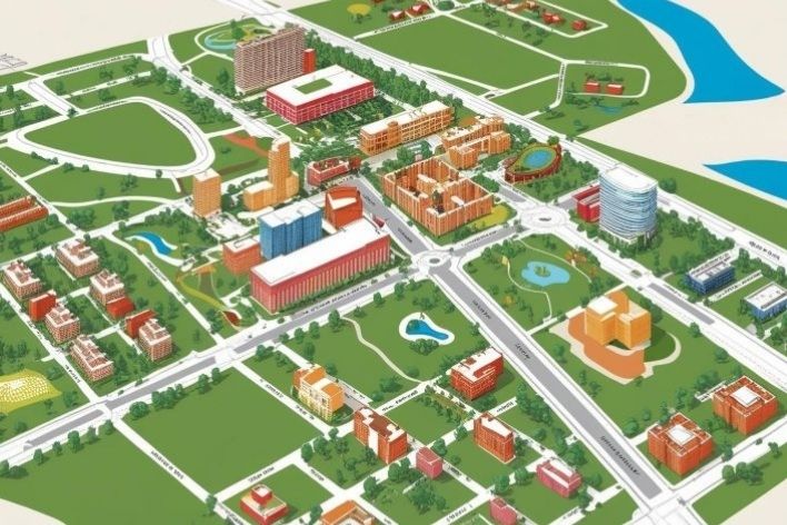
City planners design infrastructure like roads, parks & public transport using detailed maps.
3. Environmental Studies
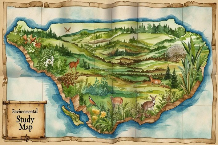
Scientists use maps to study ecosystems, track wildlife migration patterns, & monitor environmental changes.
4. Education
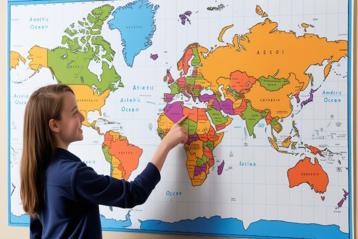
Teachers use maps in classrooms to help students learn about geography & world cultures.
Fun Facts About Mapping
Here are some fun facts about the evolution of mapping:
|
Fun Facts |
|
The oldest known map is over 4,000 years old! |
|
You have only ever seen maps printing of course, because that is also where the map comes from — no one was able to print anything until recently, maps were actually drawn with a pencil. |
|
The Mercator projection was designed for sailing, not in 1569! |
|
Satellite imagery can reveal details down to one meter! |
Formula Chart for Understanding Maps
Maps are important to know how to read for navigation:
|
Map Component |
Description |
|
Title |
Indicates what the map represents |
|
Legend |
Explains symbols used on the map |
|
Scale |
Shows the relationship between distance on the map & actual distance on Earth |
|
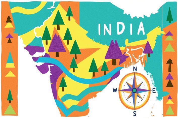
Compass Rose |
Indicates directions (N, S, E, W) |
Conclusion
Mapping has come a long way since the first linguistic cave drawings, toward the modern technologies that guide us in the world. Knowing this history not only gives us a better understanding of geography but also tells us how vital maps are in our everyday lives.
Exciting times indeed as we start using new technology & almost different methodologies to enable the kind of cartography we are seeing today without saying what things are possible in the future.
FAQs
What is the evolution of maps?
Driven by technology and society's need for ever more precise navigation & exploration, the evolution of maps takes us from ancient cave drawings to today's digital maps.
What are the origins of mapping?
Mapping has its roots over 5,000 years ago — in ancient civilizations like the Babylonians, who made clay tablets showing topographical elements.
Who is the father of mapping?
For instance, the ancient Greco-Roman scholar, Claudius Ptolemy, wrote a highly influential work between the 2nd–3rd century CE titled Geographia that laid the foundations of cartography.
Who discovered mapping?
Mapping is something that was created independently by different cultures throughout history, is not accredited to any one person, but early examples include Babylonian, & Greek.